Places
These are short guides to the islands and regions where we have homes, as well as to the main neighbourhoods and suburbs of Athens (from Plaka and Kolonaki in the centre to Kifisia, Glyfada and Piraeus). Each one sets out where the place is and how to get there or get around, with a little of its history and, depending on the place, when it may be best to go or what everyday life there is like. Where we have homes the guide shows them, and most guides also show some of the properties for sale that Greca House lists in the area.
Islands and regions
-
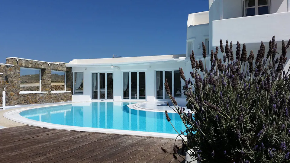
Mykonos
Μύκονος Cyclades Mykonos is a small island in the middle of the Cyclades, about 150 km east of Athens, with Chora and its windmills on the west coast and Delos some 2 km offshore. -
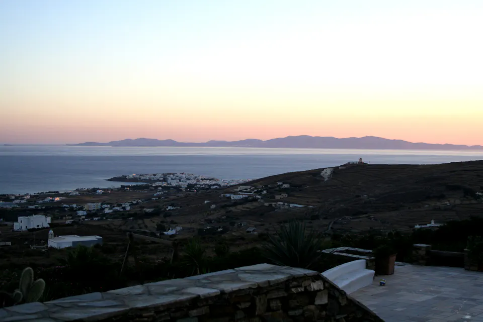
Tinos
Τήνος Cyclades Tinos is the Cycladic island beside Andros, Delos and Mykonos, and to many Greeks it is, first of all, the island of Panagia Evangelistria and of the pilgrimage on the fifteenth of August. -
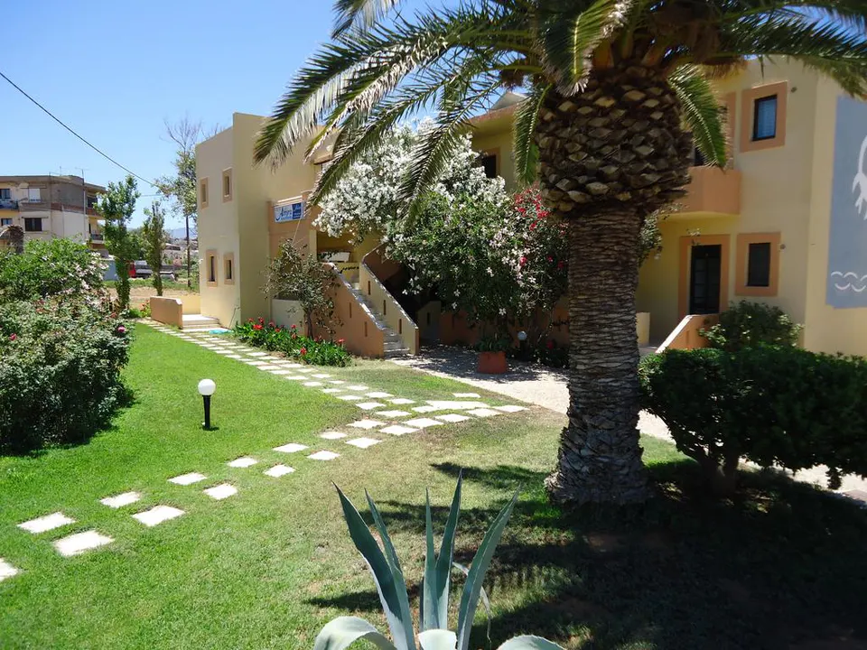
Crete
Κρήτη On the north coast of Crete, Rethymno, an old Venetian harbour town, sits between Chania to the west and Heraklion, the capital, to the east. -
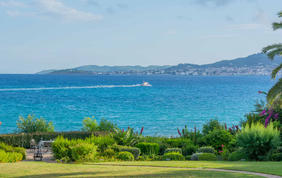
Argolida
Αργολίδα Peloponnese Argolida is the part of the eastern Peloponnese that faces Hydra and Spetses. Nafplio, its capital, and the ancient theatre of Epidaurus lie farther north. -
Attica
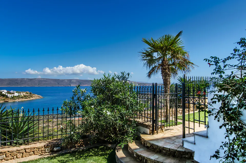
Αττική Glyfada, Voula, Vouliagmeni and Varkiza are suburbs of Athens with a seafront. South of them the coast road passes Lagonisi and Anavyssos and ends at Cape Sounio and the Temple of Poseidon. -
Evia
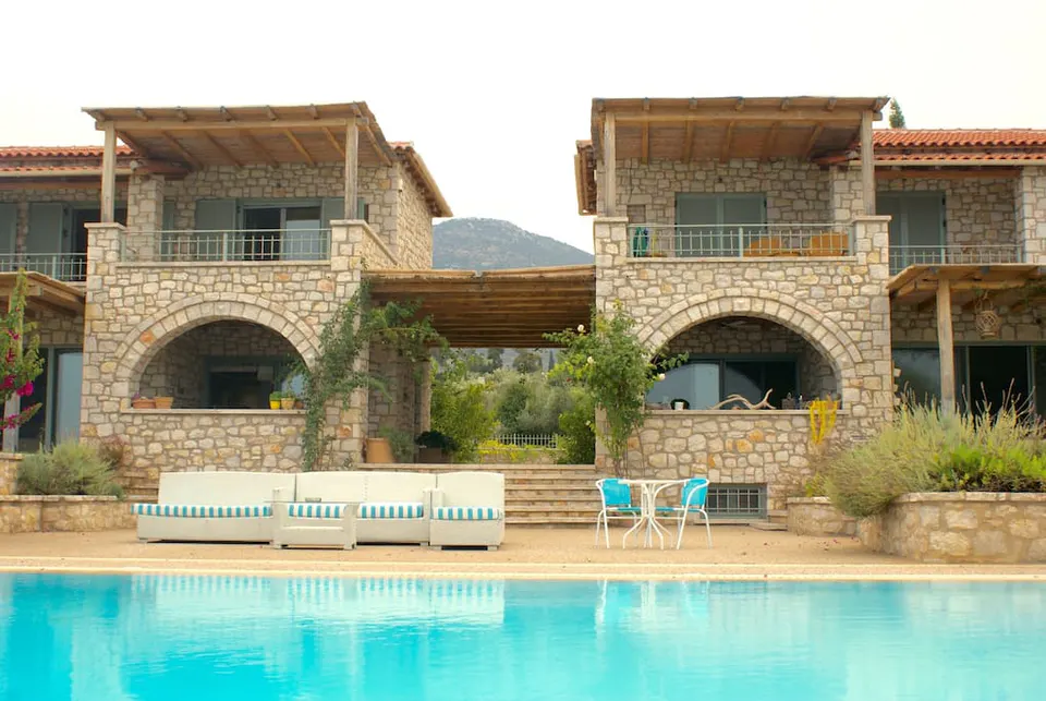
Εύβοια Central Greece Evia is the second-largest Greek island, and you can drive onto it: two bridges cross the strait at Chalkida. -
Fokida
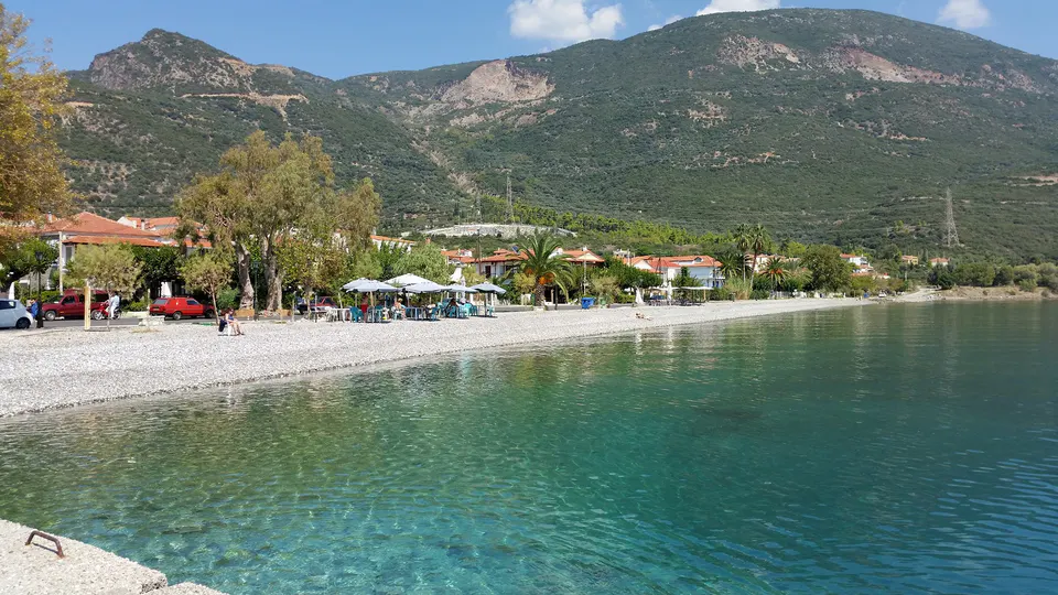
Φωκίδα Central Greece Fokida (Φωκίδα, also written Phocis) is the part of Central Greece between Mount Parnassos and the Corinthian Gulf, with Delphi on the mountainside. -
Corfu
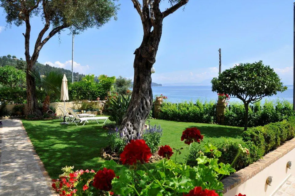
Κέρκυρα Ionian Islands Corfu is a green Ionian island with a UNESCO-listed old town, Venetian fortresses, a British past and 4.5 million olive trees. Code Athena has one holiday home here, Villa Romantica in Perama. -
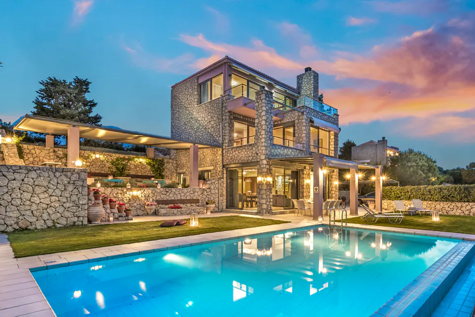
Lefkada
Λευκάδα Ionian Islands Lefkada is an Ionian island joined to the mainland by a causeway and a floating bridge, so you arrive by road. The east coast looks across sheltered water to Meganisi and Skorpios.
Athens: the centre
-
Kolonaki and Lycabettus
Κολωνάκι και Λυκαβηττός Kolonaki is an old bourgeois quarter of central Athens, on the southern slopes of Lycabettus above Vasilissis Sofias Avenue. -
Plaka, Monastiraki and the historic centre
Πλάκα, Μοναστηράκι και το ιστορικό κέντρο The historic centre of Athens, as the name is used here, is the old town around the northern and eastern slopes of the Acropolis, from Syntagma Square and the Parliament on one side to Monastiraki and its flea market on the other. -
Koukaki, Makrygianni and Thiseio
Κουκάκι, Μακρυγιάννη και Θησείο Koukaki, Makrygianni and Thiseio are the neighbourhoods below the Acropolis on its south and north-west sides, with Filopappou hill between them and Ano Petralona on its far side. -
Pangrati and Mets
Παγκράτι και Μετς Pangrati and Mets are two residential districts of central Athens that lie east and south-east of the National Garden and the Zappeion, around the marble Panathenaic Stadium. -
Exarcheia and Neapoli
Εξάρχεια και Νεάπολη Exarcheia is the student and publishing quarter of central Athens, built up behind the Polytechnic and the National Archaeological Museum, and it is known as much for its bookshops, record shops, cafés and Saturday market as for its long record of protest. -
Kypseli
Κυψέλη Kypseli is the densely built quarter of central Athens that spreads north of Pedion tou Areos and east of Patission Street. -
Ampelokipi and Ilisia
Αμπελόκηποι και Ιλίσια Ampelokipi and Ilisia fill the part of central Athens that lies east of Lycabettus, towards Zografou, a dense grid of apartment blocks crossed by Vasilissis Sofias, Alexandras, Kifissias and Mesogeion.
Athens: the northern suburbs
-
Kifisia
Κηφισιά Kifisia lies at the northern edge of the Athens basin (between Penteli and Parnitha, at about 290 m), and since the railway reached it in 1885 it has been the place where well-off Athenians went to escape the summer heat and where, in time, many of them came to live all year. -
Marousi
Μαρούσι Marousi is a municipality of a little under 72 000 people, some 11 to 13 km north-east of central Athens, on either side of Kifisias Avenue. -
Chalandri
Χαλάνδρι Chalandri (Χαλάνδρι) is a suburb of some 77 000 people in the north of Athens, at the foot of Mount Penteli. -
Filothei and Psychiko
Φιλοθέη και Ψυχικό Psychiko and Filothei are two garden suburbs laid out in the 1920s and 1930s, some 5 to 7 km north-east of the centre of Athens, with detached houses in gardens, a good number of embassies and several well-known private schools (Athens College and the Arsakeio among them). -
Agia Paraskevi
Αγία Παρασκευή Agia Paraskevi lies about 9 km north-east of central Athens, near the northern end of Hymettus, on Mesogeion Avenue (part of the marathon route), and it grew from a handful of roadside inns and summer houses into a suburb of 62 147 people at the 2021 census. -
Papagou and Cholargos
Παπάγου και Χολαργός Papagou and Cholargos make up one municipality of 45 266 people (2021 census) at the foot of Hymettus, some 6 km east of central Athens. -
Vrilissia
Βριλήσσια Vrilissia (Βριλήσσια) is a small municipality at the south-western foot of Penteli, about 10 km north-east of central Athens, with 32 417 residents at the 2021 census on some 3.8 square kilometres.
Athens: the south and the coast
-
Glyfada
Γλυφάδα Glyfada runs from the Saronic Gulf to the foot of Hymettus, about 14 km south of the centre of Athens, and in the century since its first houses went up in 1920 it has grown from a summer resort into the largest of the southern suburbs, with 89 597 residents at the 2021 census. -
Voula, Vouliagmeni and Varkiza
Βούλα, Βουλιαγμένη και Βάρκιζα Voula, Vouliagmeni and Varkiza lie on the Saronic Gulf some 16 to 22 km south of central Athens, between the sea and the southern slopes of Hymettus, and in 2011 they were joined in a single municipality with Vari, the older settlement inland. -
Palaio Faliro
Παλαιό Φάληρο Palaio Faliro lies on the eastern shore of Faliro Bay, at the north-western end of the Athens Riviera, and in about a century it has grown from a village of farmers and the odd fisherman into a dense seaside suburb of 64 863 people (2021 census). -
Alimos
Άλιμος Alimos lies on the Saronic Gulf some 8 km south of central Athens, between Palaio Faliro and Elliniko, and takes its name from Halimous, the ancient deme where Thucydides was born. -
Nea Smyrni
Νέα Σμύρνη Nea Smyrni, about 4 km south-west of central Athens, was laid out in 1924 for refugees from Smyrna and the Aegean coast of Asia Minor and, having grown into a garden city, has filled in over the century since to become one of the most densely populated municipalities in Greece. -
Elliniko and Argyroupoli
Ελληνικό και Αργυρούπολη Elliniko and Argyroupoli share a municipality on the southern coast of Athens (formed in 2011, with 50 027 residents at the 2021 census), where Pontic refugees settled in the 1920s and where, from 1938 to 2001, the city kept its airport. -
Kallithea
Καλλιθέα Kallithea lies between Syngrou Avenue and the Ilisos, about 3 km south of Syntagma, and runs down from the Filopappou and Sikelia hills to the Faliro bay.